TA SI SOBO
Adventures in Middle Earth
(Click any image to see a larger view.)
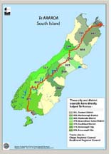
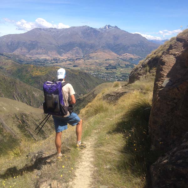
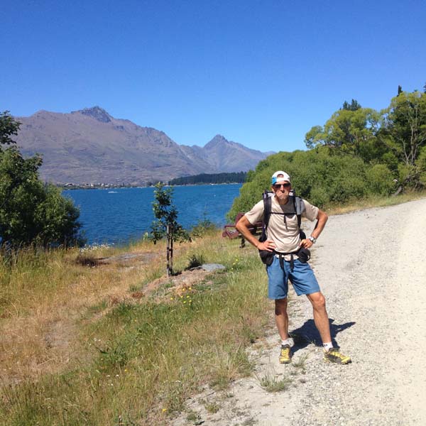
Stephanie & I hiked New Zealand’s Te Araroa, South Island only, southbound, Nov. 30, 2014, – Jan. 10, 2015.
I have some comments on the Ultimate Direction blog, but
this is more of a trip report with information that might be helpful for people planning something similar.
Info on the Te Araroa website is fantastic, and includes detailed maps (65 pages of maps for the SI alone) and tons of information on each segment, along with resupply options and places to stay. Unfortunately, the latter information is very uncondensed and takes up 87 pages for the SI alone. I made an effort to condense it down, and ended up with 14 pages, which are available here. Of course the TA is pretty new and things will change year-to-year, so you probably want to check each section against the info on the website.
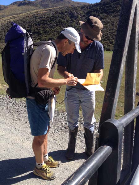
The TA site also provides a gpx file for the whole route, which I downloaded to my iPhone and then used to download maps (using Gaia) for the entire SI, along with the NZ topo overlay. This gave a helpful backup to the paper maps. In general the route is incredibly well marked, and navigation was pretty easy. But, there are a few things to be aware of: (1) Some of the road sections are not well marked; (2) If you’re above tree line on a trail-less section in the fog it can be hard to see the markers from one to the next; (3) Everything is marked with the same orange markers, the TA and other routes as well. We got lost exactly once in a situation that combined 2 & 3 above and cost us 2-3 hours and much gnashing of teeth.
I made up a spreadsheet of points along the route based on distances given on the maps from the website. It is here. There are 3 pages: (1) Distances along the route plus the tramping standard; (2) Resupply comments that I found somewhere online (not my info); (3) Our daily itinerary along with hike times when I recorded them (time from when we started in the morning to when we stopped for the day). The latter is also available in pdf format here. We generally hike faster and longer than most people, and usually take few breaks, so the times are for comparison only. The TA website and signs on the ground give estimated hike times, but we found them to be inconsistent. Maybe ours, having all been done only by us, will be more consistent? As you’ll see, we started out going pretty hard and then tapered off some as we convinced ourselves that we could complete the route in the 45 days we had available (in the end we hiked 40 days and had 2 zeros for sightseeing in the Fiordlands). Recently, Mina Holder did the entire TA for time in fully supported style. She carried a gps, and so may have the best distance info for the route. As I read her data, she reports the NI at 1852km (about 10% above what the maps show) and the SI at 1400km (about 7% above nominal).
My gear list (pdf) is here. I wouldn’t change anything except for leaving the down puffy at home and possibly bringing another lightweight fleece instead (just in case other clothing became very wet). In general it was warmer than I expected, and nights / mornings were much warmer than I’m used to in Colorado or the Sierras. The Zpacks Arc Blast (cuben, seam taped) pack is very waterproof. I also used silnylon stuff sacks and a trash compactor bag inside the pack, and my stuff stayed dry even when we went for a little swim in the Ahuriri River. Lots of people, Stephanie included, use dry bags inside their packs – NZ is really wet! We did not use pack covers.
There are lots of TA reports available on line. Here are a few pages that we found particularly helpful:
Tramplite (2013-14), great general info and terrific photos
Buck-30's resupply notes (2012-13, both islands)
Buck-30's trail notes
Buck-30's "Planning Guide for Future Hikers"
Here are some thoughts about the route and our experience, broken down by section:
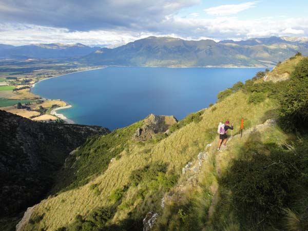
The SI starts with the Queen Charlotte Track, which is an excellent trail and relatively crowded (meaning that we actually saw other hikers) for 66km. There are many options for camping and many lodges along the way. After this there is 51km of mainly road and easy farm track, which we did in 1 day including a resupply stop in Havelock.
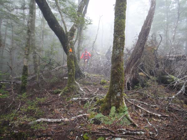
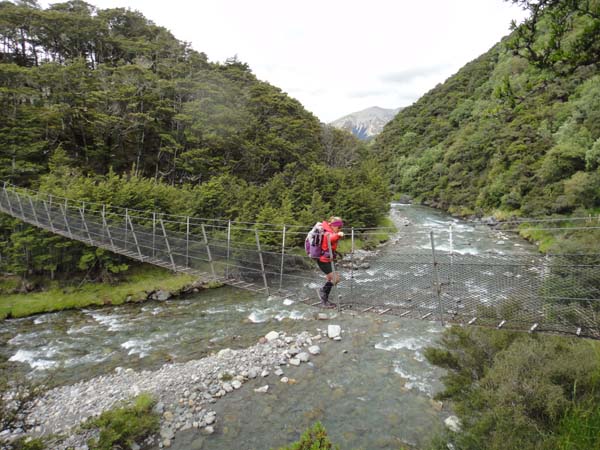
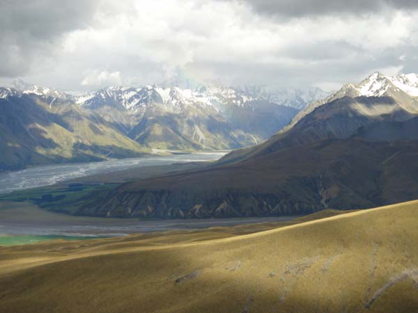
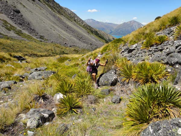
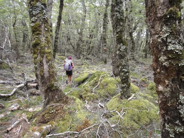
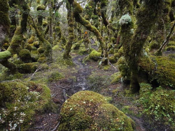
The Richmond Range traverse starts at the Pelorus TH / Maungatapu Road end. From here to St. Arnaud is 123km (by the map) and took us 4 hard days. We stayed in huts each night. This was the continuously hardest section of the TA on the SI for sure. There were other tough sections, but never for 4 straight days. Rough tracks, lots of climbing, some scrambling and exposure – this section had it all and was a sobering intro to tramping in New Zealand! Stephanie, who is fairly acrophobic, found the section along the Wairoa River to be quite scary – the track sidles well above the river and is exposed in sections.
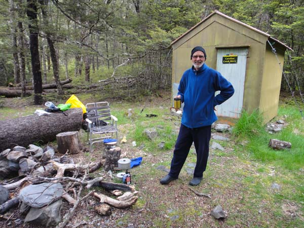
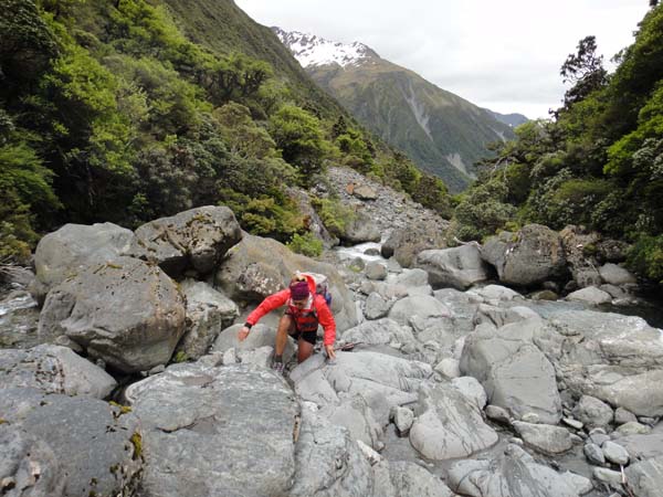
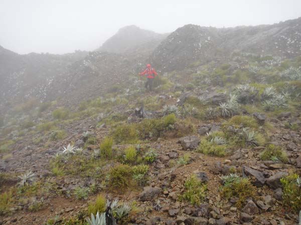
After resupply at St. Arnaud, we launched into the Travers-Sabine / Waiau Pass / St. James Walkway section. This 116km section through Nelson Lakes National Park had a little of everything, starting with an easy walk along Lake Rotoiti, then a stiff climb over Travers Saddle and down the other side into the Sabine drainage, then gentler climbing up to Blue Lake, then more hard tramping up to Waiau Pass – this whole part was among the most scenic of the entire trip. Going down Waiau was steep, snowy and pretty short, then down the Waiau Valley / St James Walkway was all easy and lovely. We ran into SI thru-hiker Murray Faulkner at the Caroline Creek Bivvy, our first encounter with another thru-hiker. We resupplied by mail drop at the Boyle Outdoor Education Center, but you could thumb into Hamner Springs on the state highway.
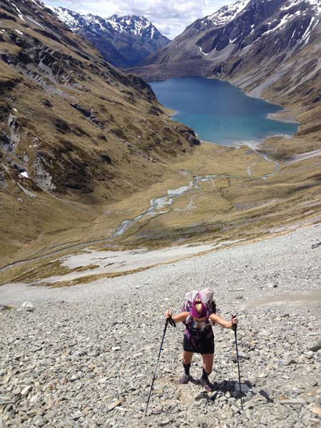
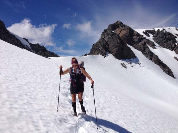
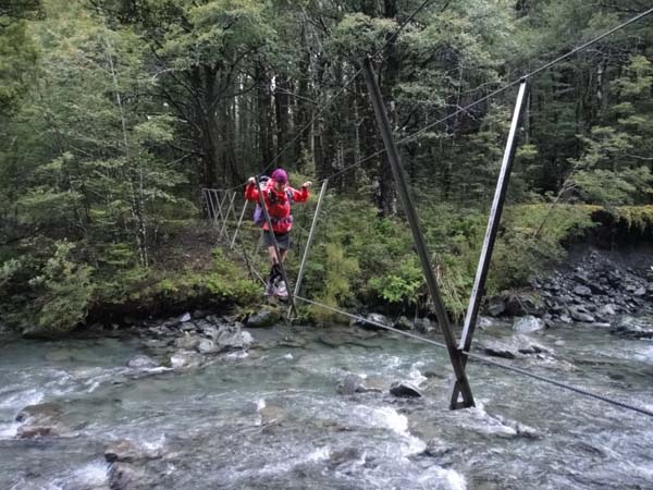
Climbing and descending Waiau Pass, and Murry at Caroline Creek Bivvy
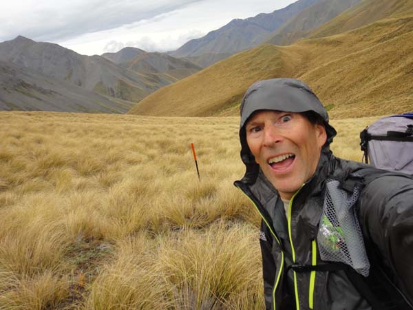
From here we’d planned to walk all the way to Lake Coleridge (185km) before our next resupply. From Boyle through the Lake Sumner Forest Park, along the Hope and Hurunui Rivers was nice, but the weather wasn’t good for us – just very wet which made the going a bit tiresome due to slipperyness and mud. We didn’t see a single soul along this section and all the way down the Taramakau River, and we had the Hope-Kiwi Lodge and the Hurunui #3 Hut to ourselves.
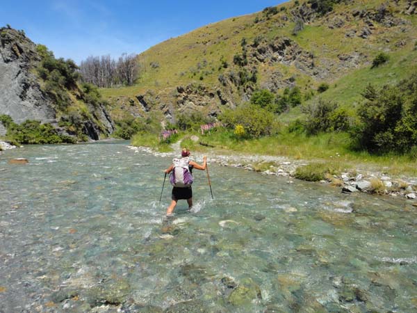
I started to feel a little sick (sore throat) along the Taramakau, so we slowed it down and spent a night at Arthur’s Pass along the way, adding to our supplies from the small and very expensive store there. We did the Deception-Mingha crossing in 2 easy days because of my health. Going up the Deception was slow, and I counted 19 crossings of the main river, which was pretty deep, fast and of course cold (which did NOT help my health!)
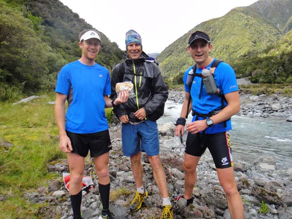
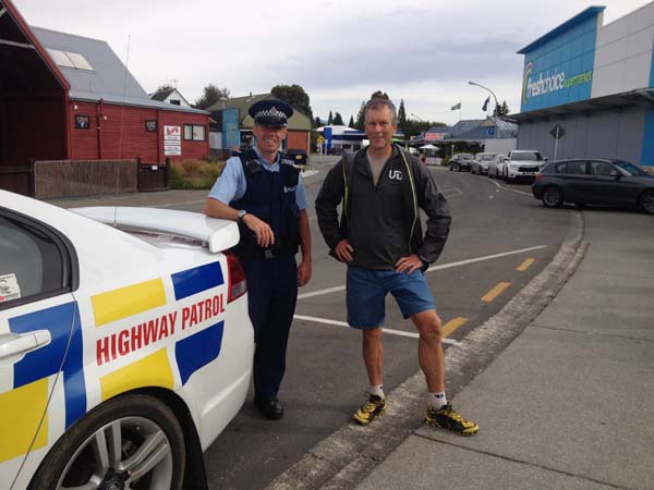
Going up the Deception to Goat Hut there were many runners training for the Coast-to-Coast race, since it was a Saturday. Ben & Blair stopped & gave us cookies, part of the requirement for the quirky UD NZ contest to win an Adventure Vest.
Going down the Mingha was much easier. We ended up staying at the Bealey Hotel that night, which was really very nice and a good deal. The Lagoon Saddle – Harper River section was surprisingly easy, with generally good tracks (and good weather!), and was followed by 29km of gravel road into Lake Coleridge where we stayed at the Lodge and resupplied by mail drop.
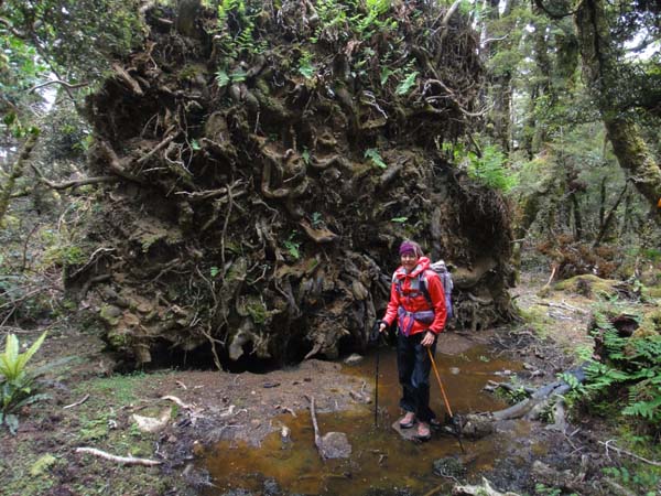
By this time I was feeling much better, but unfortunately, Stephanie had a sudden, sharp pain in her right knee on the Harper River section. After hobbling for a day into Lake Coleridge, she decided to take a few days off and meet me at Lake Tekapo. We were able to arrange rides for her to Methven and then Tekapo, where we met up 4 days later. Meanwhile, I needed to navigate the first “Hazard Zone”, the Rakaia River. The recommendation is to thumb around this dangerous river, and everyone says you should not try to cross it, so thumb I did. It took me a while to get a ride up the south side of the river, it’s just a ranch road with almost no traffic. But, after walking up the road for an hour with zero traffic, and about the time I thought I would have to walk the whole 35km, a cattle truck came by and gave me a lift all the way to the TH. In the end it was just 3 hours from Lake Coleridge to the Glenrock Stream TH. The next bit over to Comyn’s Hut was on good tracks and went quickly, but after that was a very annoying 16km – first up a stream where I counted 45 crossings (all easy, but still!), then very nasty tussock bashing that seemed to go on. I think no one but TA trampers does this section, and in fact I didn’t see a soul for 90km from the Glenrock TH. Plus, it was kind of drab – the name “Clent Hills” does it justice.
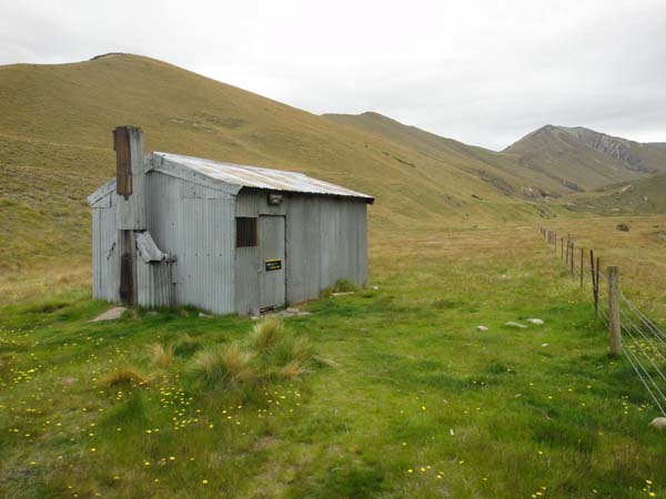
Comyn's Hut, an old musterer's hut, and me being driven mad by tussocks.
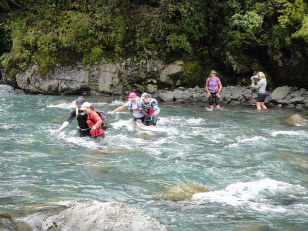
I slept at Double Hut, and the next day was really easy, fast and kind of boring hiking all the way out to the second “Hazard Zone”, the Rangitata River. Again the recommendation is to thumb around, but people say you might be able to wade it if the water isn’t too high. The cattle truck driver who had driven me around the Rakaia said that the river was low, so I thought I’d give it a try. The thumb is extremely long, something like 140km and again on remote ranch roads much of the way. Thru-hikers Thor & Fern who I met the next day said it took them 24 hours to thumb and walk around. The crossing was intimidating because the river bed is extremely wide – about 10km from the Potts River Bridge to the other side. Along the way I encountered many channels, but most were easy and in fact there was just one difficult channel, which I reached about 8km into the crossing. This one took about 4 tries before I found a place I felt comfortable crossing the swift, waist deep river. The whole thing from Potts River Bridge to the Bush Stream TH (where I camped in the rain) took about 3 hours.
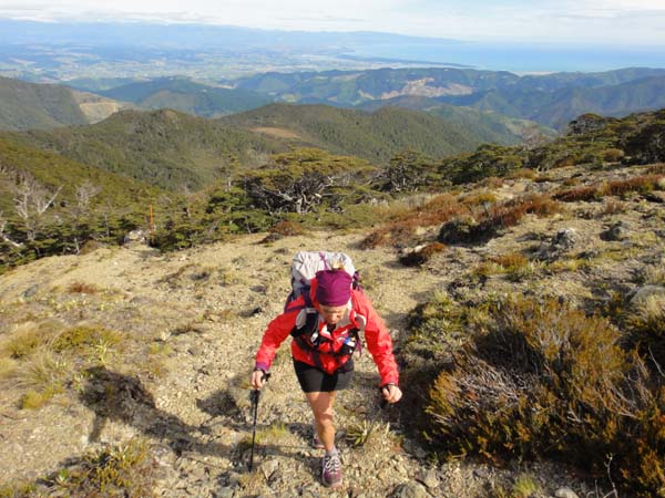
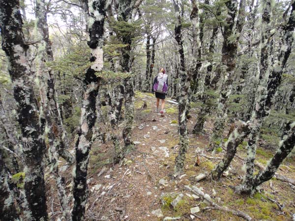
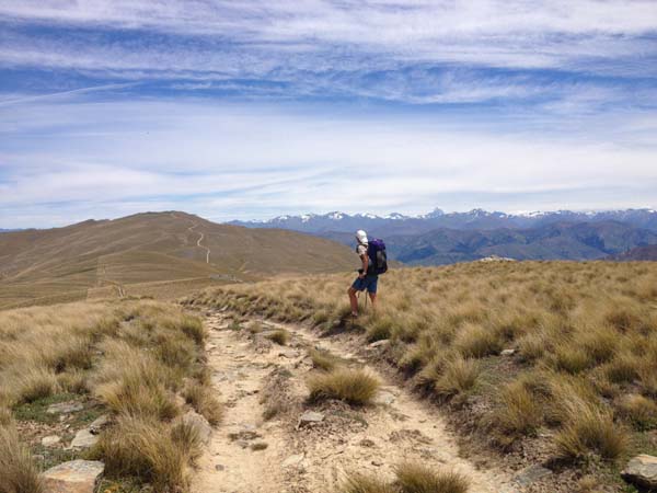
Bush Stream was a nice section and not bad hiking. I took it easier after the previous hard day, and spent the night at Royal Hut with fellow American TA SI SOBO trampers Thor and Fern (who have some great TA photos on their blog). The next day I put the hammer down to get into Tekapo and meet back up with Stephanie. From Stag Saddle I did the recommended ridge variation, which was certainly worth it despite wind that was about knocking me down. The views were terrific, and travel was excellent along the ridge, while the valley looked tussocky and wet.

Beautiful views of the Southern Alps and Lake Tekapo from above Stag Saddle, and me being driven mad by wind.
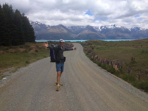
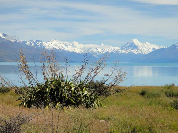
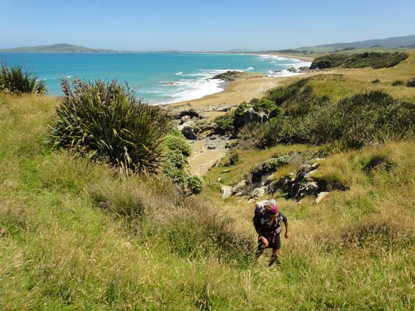
From Lake Tekapo to Lake Ohau is 100km on roads and cycle paths. Much of it was actually extremely scenic, and most of the roads had minimal traffic. Stephanie in particular loved these "cruiser" sections. The TA notes don’t really give good guidance about where you can camp along here, and actually I don’t have any great insight on that, but we did camp by Lake Pukaki and by Lake Ruataniwha.
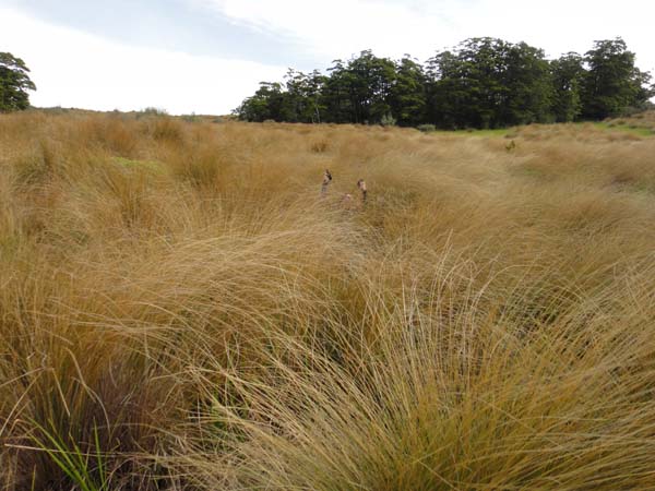
The short (27km) section from Lake Ohau to Birchwood Rd started off on a good track which eventually disappeared into tussock with loads of nasty Spanish Bayonet. After camping in the upper East Ahuriri drainage, we motored down to the Ahuriri crossing. With the dry weather we didn’t think this would be bad, and probably should have studied it more closely. It turned out to be the hardest river crossing we had, and we ended up losing our footing about 3m from the shore and going for a short and bracing swim. I think we’d have been better off 200m downstream from where we crossed. But it was a nice warm day and we dried out quickly.
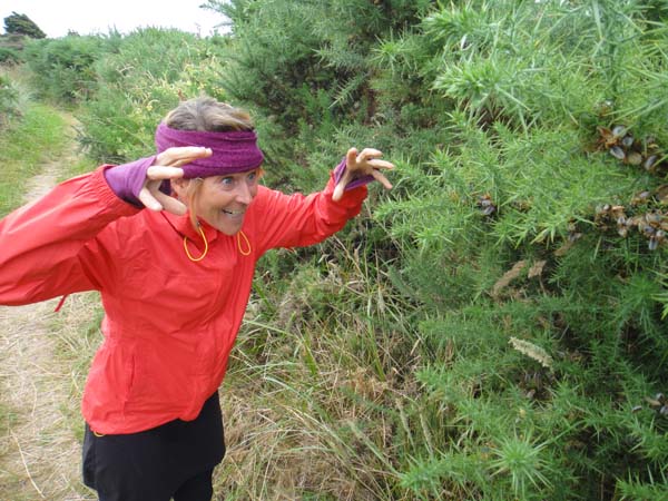
Sharp! Spanish Bayonet & Gorse have nothing on Stephanie!
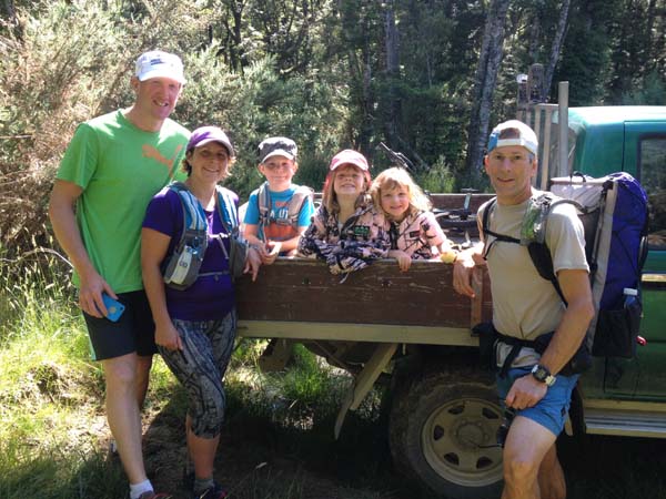
After crossing Birchwood Road we got on a sheep farm track and then an old and at times very steep bulldozer road up and over Martha’s Saddle and down to the Top Timaru Hut. It was Christmas Eve and we had the nice, modern hut to ourselves. The next day had a little of everything on generally pretty good tracks – some beech forest, a bunch of crossings of the Timaru River (all easy), a stiff climb up to Stody’s Hut, and then an invigorating ridge walk on old ranch roads. The views from the top of Breast Hill were spectacular. We spent Christmas night in Pakituhi Hut. From there down to the road by Lake Hawea is indicated as “hard tramping” in the TA notes, but we just found it steep. Since the track was good and our packs were light it didn’t seem that hard, and it was also super scenic descending into the lake with the Southern Alps in the background. We stopped in Lake Hawea village for ice cream, then continued along the cycle path to Albert Town where we stayed with the UD NZ rep, Grant Guise, and his family.
The next morning we “slackpacked” along easy and scenic tracks next to Lake Wanaka (with a stop for coffee in Wanaka) for 30km to the Fern Burn carpark, where Grant met us with our packs and the 3 of us continued on up to the Highland Creek Hut. Grant did a bit more with us in the morning then turned back to his car while we continued for a big day all the way into Arrowtown. Some of these tracks in the Mototapu are again indicated as “hard tramping” but they didn’t seem that bad, just steep. Pushing through to Arrowtown was worth it for the food and beer at the Fork & Tap!
On the Mototapu with Grant
I found the 30km road and cycle trail walking from Arrowtown to Queenstown to be annoying for some reason, but again Stephanie enjoyed it. The route as marked on the ground wasn’t accurately reflected on the map. Anyway, it was fast hiking. We met Grant and his family again in Queenstown, and loaded into his van for the shuttle around the third and final “Hazard Zone”, Lake Wakatipu (as we learned later, there seems to be a track you can take from Queenstown to Glenorchy).

Roads, me being driven mad by roads, and a Queenstown shop visit.
We spent the night camping at Kinloch, and it was nice to celebrate our 24th wedding anniversary with the young family. Early the next morning Grant shuttled us the rest of the way to the Greenstone TH. It seems like this section between Queenstown and Greenstone, or at least to Kinloch, has a fair amount of traffic and so thumbing this looks like it wouldn’t be that bad.
Grant's kids Isabella (on her 3rd birthday!) and Zack
The next section starts out on the very popular Greenstone-Caples route (there were probably 30 cars in the car park) but diverts near the Greenstone Hut. It’s about 97km from the Greenstone TH to SH 94 at Princhester Rd, and we found this to be all quite easy tramping.
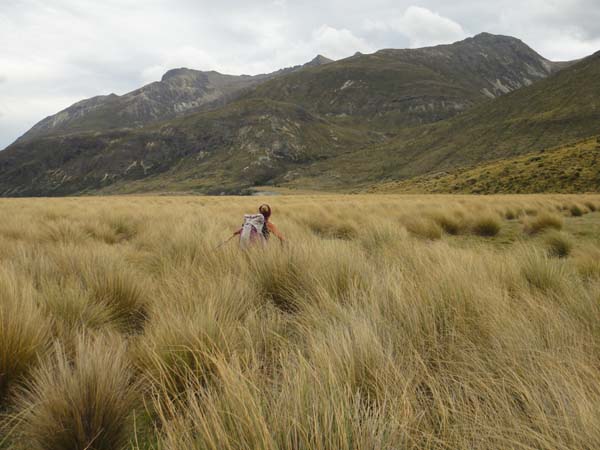
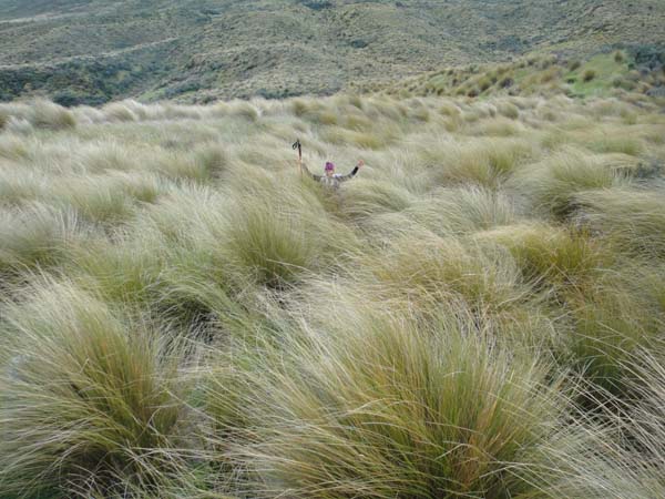

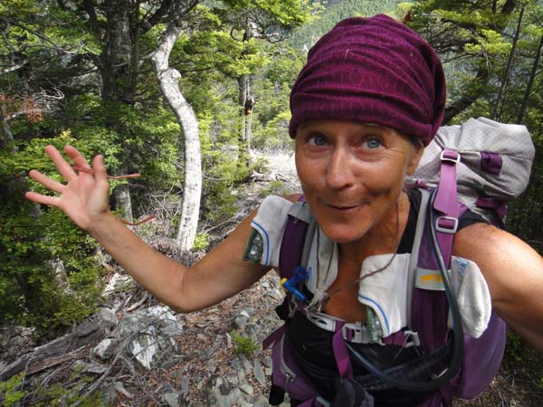
Stephanie being driven mad by TUSSOCKS!
From the Kiwi Burn Hut, where we spent a delightful New Year's Eve with ultrarunners Helen and Croydon, we crossed the river and walked the Mavora Lakes Rd down to the highway, instead of following the TA along the river margin – that just seemed annoying and illogical. Along the highway we met NOBO American thru-hikers Greenleaf, Apple Pie and Burrito.
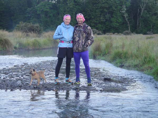
Helen, Croydon and Sassy
We thumbed into Te Anau to resupply and also for a couple of “tourist” days in the Fiordlands. Our resupply was for 5 days, which would take us 161km into Riverton.
Dwight - Te Anau's finest (Don't speed on the Milford road!)
Next we had 62km through the Tikitimu Forest and Mt Linton Station. The Tikitimu was really pretty, though tussocky at times, but unfortunately when we got up on Telford Top the weather was completely socked in and we had no views at all.
Mt Linton was the usual easy sheep ranch roads, with some more “thrashy” sections thrown in. In one area there seems to have been some changes to the fence lines, and we were forced to cross some electric fences without styles. Hopefully this will be corrected soon as Stephanie got a good zap from one of the fences! Scott, whom we had met at Arthur’s Pass, met us at Straun Flat Rd and took us to his home for the night. Without this connection, camping might have been tricky in this section. After the Telford CG at the start of Mt Linton Station the next reasonable camping seems to be within Woodlaw Forest, but water could be an issue here since it’s all sheep country. We did see a good stream near the south end of the Woodlaw Track, just before it hits the jeep road, and you could camp in the area of the jeep road, I think (or up top by the communication tower, but probably no water up there).
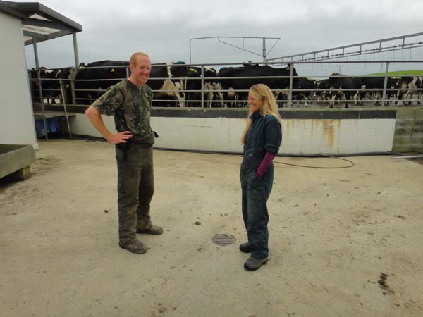
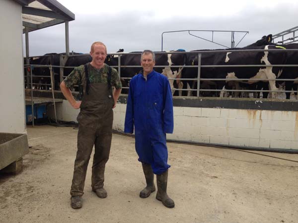
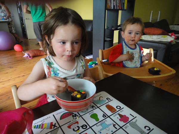
Dairy farmers Scott & Chantal with their kids Zack, Ava and Iris
Anyway, after a lovely night with Scott, Chantal and their 3 beautiful kids (thank you!) we shuttled back to Straun Flat Rd and got back to it. Chantal walked with us for the first 19km section. Much of the 100km to Riverton was easy on ranch roads, though some parts of the Longwood Range were harder. On the exposed tops of the Longwood we encountered some of the worst weather of the trip – cold, wind-driven rain, and very bad visibility. Much of the way there was no ground track, so we had to be careful finding the markers in the fog. It was too early to stop at Martin’s Hut, so we kept going a couple more hours figuring to camp along the Ports Water Racktrack. This probably wasn’t our best idea, as there is very little level ground along the Ports track, but about an hour in we did find a good spot by an old weir that probably functioned to dewater the aqueduct.

The racetrack is really long and very nice, but enough is enough and we bailed out at the signed shortcut for the Matheson Farm (I think there’s also one for McKay). This was a good route but would be very hard to find from the other direction. Once we hit Colac Bay we were enchanted by the beach and coastal walking which is so different from anything we’d been on for the previous 6 weeks! This was delightful and mostly easy into Riverton, where we stayed with Grant’s parents, Gus and Peggy.


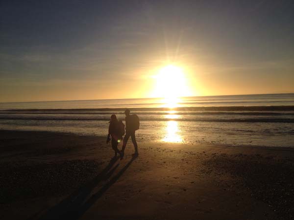
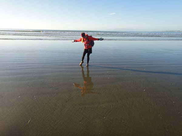
We checked the tides and decided to get an early start to watch the Sun rise over the Foveaux Straight as we walked along Oreti Beach. It’s 22 beautiful km along the beach on hard-packed sand – excellent walking – and we saw almost no one until close to Dunn’s Rd.
The road section into Invercargill wasn’t that interesting, but it was easy and mostly on a separated path. Invercargill itself we found to be an interesting mix, a town catering to both the large agricultural community in the whole Southland area plus to a more “bohemian” element and plenty of young tourists heading for Stewart Island or the Catlins. We ended up staying 4 nights at the Southern Comfort Backpackers, which was very quiet, homey, clean and nice. The Tautara Backpackers is more central and lively, but we only had coffee there. Anyway, Invercargill has everything you could want as far as shopping, with a specialty outdoor retailer (Allan White Sports), a MacPac store, a huge PakNSave grocery, brew pubs, even Starbucks.
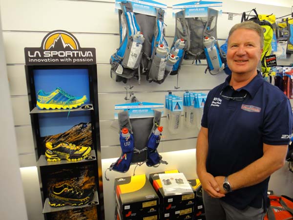
Allan White Sports shop visit, Invercargill
For the final day we ditched our packs, stuffed a few snacks into our pockets, grabbed a water bottle and took off for Bluff. It was around 11km on a nice gravel path followed by 15-16km along the state highway, which wasn’t very nice, and then finally 7.5km on the Foveaux Walkway (quite nice and mostly easy) to Sterling Point. After snapping photos at the point we walked back into town for ice cream and then hitch-hiked back to Invercargill.
The TA appears to be getting more popular quite rapidly, especially with Americans and Germans who seem to be most interested in the “pure” thru-hike. I think it may quickly become the World’s 4th great thru-hike (after the AT, PCT and CDT). Nevertheless, the South Island at least is still largely a wilderness experience and there were many days that we didn’t see anyone while hiking.